
Herndon ZIP Code Directory Coverage
Two confirmed ZIP codes serve the Herndon postal area: 20170 and 20171. The county ZIP map and Fairfax service geography place both in the postal area, but they do different geographic work. The ZIP code directory should therefore show a delivery relationship and a jurisdiction check side by side. Postal city is not the same thing as the Town of Herndon, and a broad postal-city list should not be treated as an official boundary map.
| ZIP | Herndon-area coverage | Postal city | Directory caution |
|---|---|---|---|
| 20170 | Town core and surrounding Fairfax postal area | Herndon delivery area | Extends beyond the incorporated Town boundary; verify the exact parcel |
| 20171 | Much of Oak Hill, Floris, New, and the near-Dulles area | Herndon mailing city | Largely unincorporated Fairfax County, not automatic Town coverage |
| Other broad-database values | Not confirmed as Town-serving ZIPs by the official local sources reviewed | Unverified | Use an address-specific USPS and MAR check instead of inferring coverage |
USPS ZIPs are delivery geographies, not municipal boundaries. The complete set of PO-box or unique ZIP values sometimes returned by national databases was not verified in official local sources. Keep the directory limited to the two confirmed postal-area ZIP codes until an address-specific result supports another value.
20170 in the Herndon ZIP Code Directory
ZIP code 20170 is the standard Herndon ZIP associated with the Town core and a surrounding Fairfax postal area. That wider delivery area is why a 20170 result should be verified at the address level before it is labeled a Town of Herndon location. The postal label is useful for mail and filtering, but the parcel jurisdiction is the answer to a municipal-record question.
For a property or street result, compare the 20170 delivery label with the MAR address result, a Fairfax jurisdiction layer, and the tax card's situs address. Those records can agree on the street location while still serving different purposes. MAR is address authority, GIS shows boundaries, and iCare carries the assessment data.
20171 and Herndon Postal Geography
ZIP code 20171 uses Herndon as the mailing city for much of Oak Hill, Floris, New, and the near-Dulles area. The research identifies much of that area as outside the incorporated Town in unincorporated Fairfax County. A Herndon address label in this ZIP can therefore be a valid mailing description without making the record a Town record.
That distinction matters when a search is aimed at Town planning actions, a Town FOIA request, or a municipal history question. Start with MAR, then check the political-jurisdiction layer and parcel information. Do not count 20171 as Town coverage simply because the postal city line says Herndon.
Herndon ZIP Boundary Myth
MAR is Fairfax County's authoritative address, parcel, and street engine. Search an exact address and use its city, ZIP, parcel ID, subdivision, and created or expired date fields as separate filters when needed. A ZIP-wide MAR result is an address and parcel list, not a resident list. The right workflow is ZIP and address first, parcel and jurisdiction second, then the specific public record needed for the question.
Use USPS to confirm the delivery ZIP and city for the exact address, then use MAR to confirm the Fairfax address and parcel context. USPS confirms mail delivery. It does not define Town limits. The Fairfax MAR search is the county source for validating an address against its parcel and mapped locality fields.
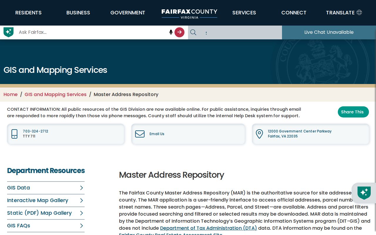
The MAR interface is the place to preserve the exact address result and its date before using a ZIP label to narrow another search.
Find Herndon Records by ZIP Code
A Herndon postal-area search narrows address and parcel records, not a roster of residents. Begin by validating the exact delivery ZIP and address. MAR can filter by ZIP and return address or parcel results. iCare can then be used parcel by parcel through its address, location, map, or PIN modes. Its published help does not state that it performs a ZIP-only bulk search, so do not assume that a ZIP filter creates a complete property list.
- Confirm the delivery ZIP and city for the target address through USPS, then validate the address and parcel in MAR.
- Filter MAR by ZIP, city, street, subdivision, or created and expired dates to narrow an address or parcel result.
- Open matching iCare cards by address or PIN and preserve the situs, owner mailing address, and legal description as separate fields.
- Use Jade's ZIP, city, and jurisdiction layers where loaded to check the mapped setting of the parcel.
- Use PLUS when a building, planning, or site-record search needs its City, State, ZIP, or Parcel ID fields.
Virginia's Citizen Portal asks an individual for locality and identity fields; it is not a public ZIP browse. Once a ZIP result is narrowed to a particular street, the Herndon street directory has the address-by-address property and deed workflow.
Note: A ZIP-wide result should be labeled an address or parcel result, never a complete list of current residents.
Use Herndon ZIP Search Fields
MAR offers the clearest ZIP-capable field set for a Herndon ZIP code directory search. Combine ZIP with an address number, street name, street type, city, parcel ID, or subdivision when a broad result needs to be narrowed. Its created and expired date ranges are useful for checking whether an address record changed over time. The fields identify a place and parcel relationship, not a household roster.
| MAR field | Use in ZIP research | Result caution |
|---|---|---|
| ZIP | Starts a postal-area filter, including 20170 or 20171 | Results may cross Town or county boundaries |
| City | Pairs a postal or locality value with the search | Herndon is not proof of Town limits |
| Address number and street | Narrows the result to a situs address | Use current and historic-address context carefully |
| Parcel ID | Connects the address to a Fairfax parcel key | Stronger link than a ZIP alone |
| Created or expired dates | Checks address lifecycle changes | Does not replace an official readdressing record |
Fairfax Digital Map Viewer adds current and historical property, zoning, flood, utility, and map-book layers after MAR identifies the area.
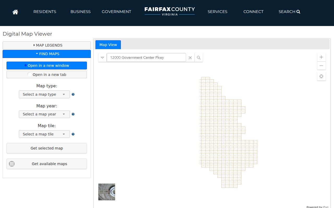
Map layers can place a ZIP-filtered parcel within its surrounding geography, but the assessment card and land record remain separate sources for owner and instrument details.
Keep Herndon ZIP Address Fields Separate
For each Herndon parcel, keep the situs ZIP, owner mailing ZIP, legal description, and PIN in separate notes. The situs is the physical parcel location. The owner's mailing address can be in another Fairfax area, another state, or at a post-office box. It can help locate an owner of record, but it does not establish occupancy at the parcel or the parcel's jurisdiction.
iCare provides the assessment-card layer, while the Circuit Court deed index carries recorded ownership instruments. A deed may identify land through its legal description without using the modern street address. When street or postal labels differ over time, the PIN, lot, block, subdivision, and recorded description are better bridges than a ZIP alone.
Historic Herndon ZIP Addresses
Older Herndon research needs an address trail without modern ZIP assumptions. A 1906 source will not contain 20170 or 20171. Use pre-ZIP-era city directories, street names, railroad and depot landmarks, census enumeration districts, the 1878 map, the 1895 addition map, and deeds or plats. Reverse directories and telephone books provide the historical address-to-occupant layer when the exact volume is available.
Herndon grew around the railroad and was incorporated in 1879. The historic-district survey identifies the nineteenth-century development west of the railroad and the Van Vleck Addition. Those details can help interpret a historical address, but no official comprehensive Herndon renumbering project or year was located. Use MAR address dates and Town records or FOIA for an official readdressing question.
Herndon ZIP Map Updates
Address research depends on the date a map or report was viewed. Fairfax added 2025 aerial imagery in July 2025, and MAR received an improvement update in July 2026. Keep the access date with saved address results, map exports, and parcel reports. That record makes it possible to tell a later GIS change from a mismatch in the underlying deed or assessment history.
Herndon 2050 planning began in fall 2025 and continued through a February 2026 work session. Planning can change the context of a street, parcel, or development record. Check current Town plan and map material when the timing of a location matters.
Herndon ZIP Code Boundary Limits
ZIP boundaries and Town limits answer different questions. A 20170 address can be outside the Town boundary, and a 20171 address can use Herndon as its mailing city while being in unincorporated Fairfax County. A ZIP filter cannot identify non-owner occupants, household members, utility subscribers, protected voters, or DMV addresses. The public sources identify parcels and records, not everyone associated with a delivery route.
Use ZIP evidence for a lawful personal purpose such as property history, family research, civic transparency, or confirming an official filing. Do not treat an address or parcel list as a current-resident list, and do not expose protected location information. The responsible custodian should correct a source record when a field is wrong.
- ZIP versus ZIP+4
- A ZIP identifies a delivery area; ZIP+4 further sorts mail for a smaller delivery segment.
- PO-box ZIP
- A postal value used for post-office boxes, which does not by itself identify a physical parcel.
- Unique ZIP
- A ZIP assigned to one organization or delivery arrangement; no confirmed Herndon example was identified in the official local sources.
- Carrier route
- A postal delivery grouping, not a municipal boundary or a public directory of households.